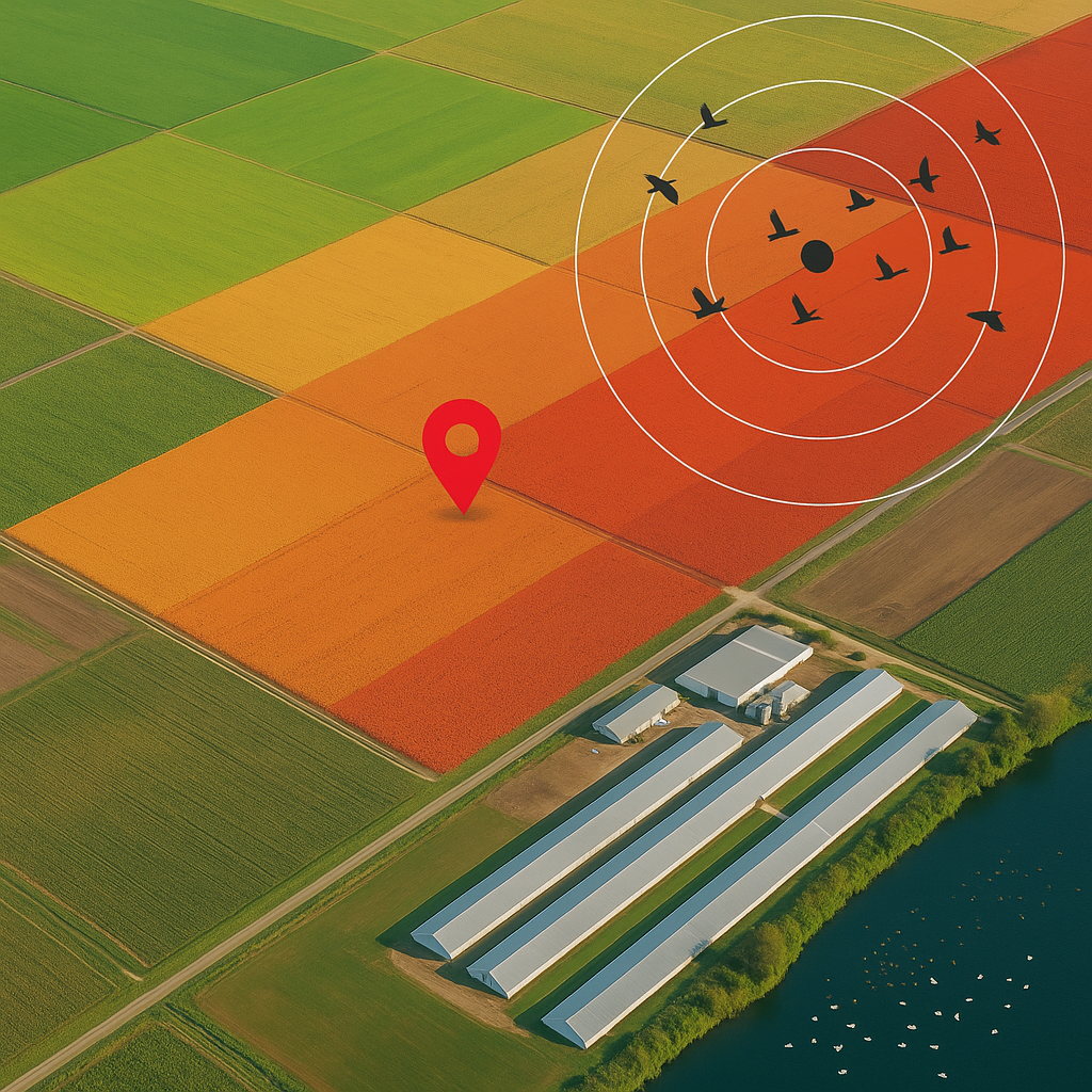
Daily risk forecasts that show you where migratory waterfowl are — and which of your farms are most at risk.
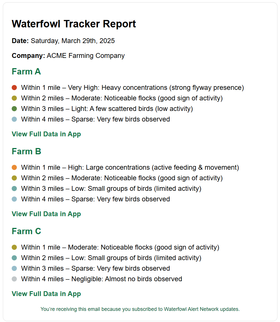
Daily Risk Forecasts
Know each morning which of your farms are at risk from nearby waterfowl, with simple, actionable alerts based on live radar and satellite data.
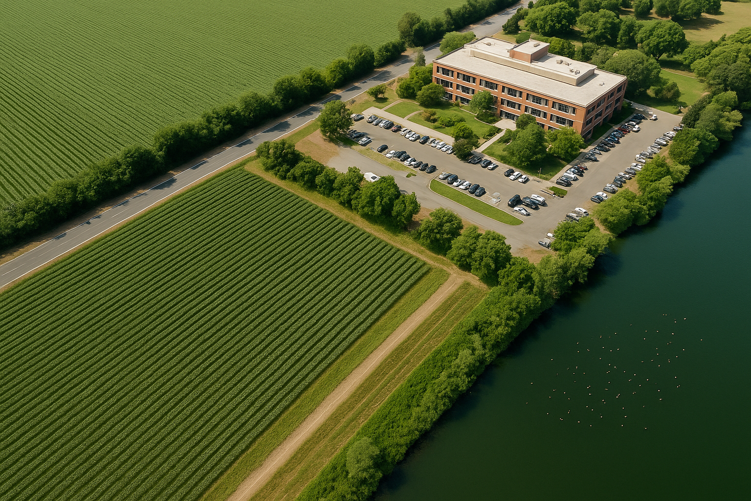
Built for Farms
Designed specifically for poultry, swine, and cattle operations—WFAN delivers insights that improve biosecurity, site planning, and supply chain decisions.
Backed by Deep Research
Developed by veterinarians and data scientists using over 12 years of waterfowl movement and avian influenza surveillance data.
Example Daily Email
WHY IT MATTERS
Waterfowl are the natural carriers of highly pathogenic avian influenza (HPAI). Every fall and winter, millions migrate across North America — and unknowingly pass the virus through ponds, fields, and skies near your livestock.
That risk isn’t the same for every farm.
Some properties are near migratory flyways. Others are safe — but only if you know where the birds are.
WFAN gives you a daily, farm-level alert so you can:
📍 Identify which farms are high-risk vs. low-risk
🧼 Focus biosecurity efforts where they matter most
🧮 Make better decisions about land purchases and logistics
📦 Protect your animals, your operation, and your supply chain
See Your Farm's Risk Before the Next Outbreak
Get a free demo showing how WFAN delivers daily bird flu risk forecasts for each of your locations—no guesswork, no fluff.